SuperSurv Lite --GIS App 3.3.0017
Free Version
Publisher Description
A feature rich mobile GIS app aiming at data collection for professional surveyors
1st App to record attributes in custom menu
1st App to edit GIS data in complete off-line mode
Direct access to maps and update field data to Server GIS
Save at least 70% of work time than traditional data collection
Visit SuperSurv FB Fan Page for the most updated and exclusive information at https://www.facebook.com/SuperSurv
New features in SuperSurv Lite
- Support to label point, line, and polygon features
- Show GPS altitude on GPS status bar
- Enhance waypoint management
- Support Hyperlink function in Query tool
- Improve Query result window
Key features in SuperSurv:
1. Free base maps from OpenStreetMap
2. On-screen spatial query and measure tools
3. User-defined dropdown menu to input attributes
4. Geo-tagging to save XY info for surveyed targets
5. Collect features automatically or manually by real-time GPS
6. Export data and waypoints to be used in other GIS software
7. Offline data capture & edit (SHP/ GEO)
8. Various types of point, line and polygon symbols
9. Support global users with local coordinate systems
10. Connect and edit the map services published by SuperGIS Server
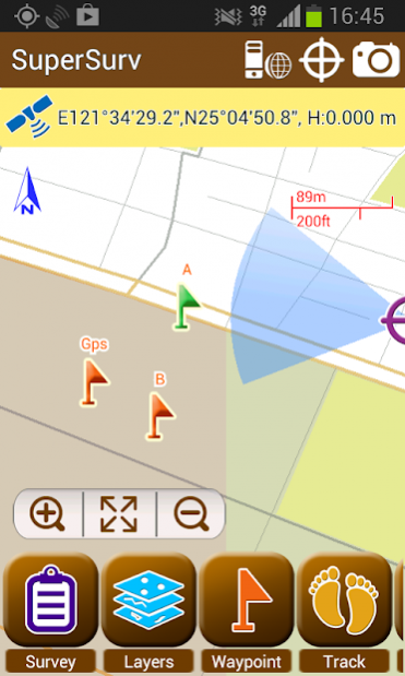
Integrating with GIS and GPS technologies, SuperSurv enables field surveyors to effectively collect and survey spatial data (including attributes) in the field with Android devices. The main functions of SuperSurv include data collection, orientation, map display, and direct interaction with Server GIS.
With the built-in GPS functions, the data of point, line and polygon can all be captured quickly. You may also create and manage waypoints with ease, and view waypoints in AR (Augmented Reality).
All the collected data can be exported and applied to desktop GIS applications, like SuperGIS Desktop 3.2 (http://www.supergeotek.com/productpage_SG3.aspx).
The free version allows users to try the complete functions for 7 days. To continue experience the powerful GIS functions, please purchase the paid version--SuperSurv Pro.
Learn more about SuperSurv: http://www.supergeotek.com/productpage_SuperSurv.aspx?Type=Editions
About SuperSurv Lite --GIS App
SuperSurv Lite --GIS App is a free app for Android published in the System Maintenance list of apps, part of System Utilities.
The company that develops SuperSurv Lite --GIS App is Supergeo Technologies Inc.. The latest version released by its developer is 3.3.0017.
To install SuperSurv Lite --GIS App on your Android device, just click the green Continue To App button above to start the installation process. The app is listed on our website since 2016-11-15 and was downloaded 15 times. We have already checked if the download link is safe, however for your own protection we recommend that you scan the downloaded app with your antivirus. Your antivirus may detect the SuperSurv Lite --GIS App as malware as malware if the download link to com.supergeo.asd.supersurvlite.SuperSurv is broken.
How to install SuperSurv Lite --GIS App on your Android device:
- Click on the Continue To App button on our website. This will redirect you to Google Play.
- Once the SuperSurv Lite --GIS App is shown in the Google Play listing of your Android device, you can start its download and installation. Tap on the Install button located below the search bar and to the right of the app icon.
- A pop-up window with the permissions required by SuperSurv Lite --GIS App will be shown. Click on Accept to continue the process.
- SuperSurv Lite --GIS App will be downloaded onto your device, displaying a progress. Once the download completes, the installation will start and you'll get a notification after the installation is finished.
